An Evening Stroll at Primbee

Lake Illawarra is located between the Illawarra escarpment and the Pacific Ocean on the NSW South Coast some 90 kilometres south of Sydney. Water flowing into it is both fresh (from the escarpment) and salty (from ocean tides).

Lake Illawarra at Primbee

The traditional custodians of the land surrounding what is now known as Lake Illawarra are the Aboriginal Tharawal and Wadi Wadi peoples. Lake Illawarra was a valuable source of food and spirituality. Burial sites and middens (shell and camp rubbish heaps) discovered at Windang and surrounding areas indicate that the Wadi Wadi used the area extensively and performed various corroborees and ceremonies in the area. The name Illawarra is derived from various adaptions of the Aboriginal Tharawal language words of elouera, eloura, or allowrie; illa, wurra, or warra mean generally a pleasant place near the sea, or high place near the sea, or white clay mountain.

Matthew Flinders and George Bass called the lake Tom Thumb’s Lagoon on Flinders’ chart, named after their little boat the Tom Thumb, when they were there in March 1796.

The Lake is approximately 9.5 kilometres long and 5.5 kilometres wide, with an area of 33 square kilometres and a maximum depth of 3.7 metres. 13 boat ramps surround the lake and it is a popular recreational location.

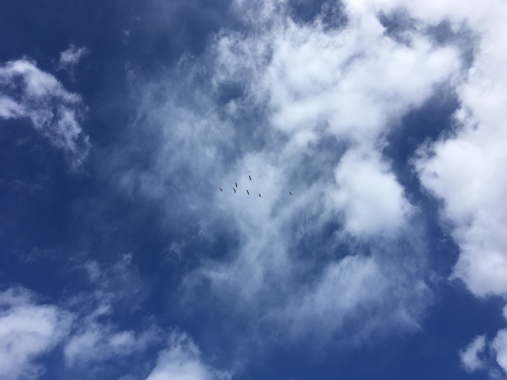
The lake is very popular for bird lovers and is a home, nesting site and food source for many bird species. https://wollongong.nsw.gov.au/__data/assets/pdf_file/0024/65184/Birds-of-Lake-Illawarra.pdf

Very Embarrassed Poodle!

Hill 60 Wollongong… a brief visit.

View south from Hill 60

Hill 60 is a heritage-listed Aboriginal site at Military Road, Port Kembla, Wollongong. It is also the location of the World War II installation the Illowra Battery. Illowra (Red Point, Ti-tree Hill or Hill 60) at Port Kembla is a site of immense cultural and spiritual significance to the Aboriginal people of the Illawarra region.

A squadron of pelicans high in the sky.
Gazania
Footpath to the headland
Towards Rocky and Toothbrush Islands

Back to Perth and Sydney

We set of from Margaret River with mild trepidation not knowing if we would be able to fly back to Sydney.

Leaving Margaret River
Margaret River is an up and coming Wine producing area.

Margaret River’s wine history began in the 1830s when the Bussell family planted their first vines to make wine for home. However, the region didn’t really take flight until two research scientists landed here in the 1950s, almost 100 years later.

The Angry Bird parked in the shade whilst we ate our lunch on a bench in Rockingham
Our last night in WA
Cute little pool at the Sanno Marracoonda
Virgin Australia Flight VA556 Wednesday 25th March
One of the last planes out of Perth due to the covid19 virus restrictions.
Approx 2050miles / 3295 km and four hours flying time.
Flight barely half full.
Outskirts of Perth
Evidence of open-pit mineral mining east of Perth
Israelites Bay on the Great Australian Bight.

https://en.wikipedia.org/wiki/Great_Australian_Bight

The Great Australian Bight is a large open bay off the central and western parts of the southern coastline of mainland Australia. The Bight’s boundaries are from Cape Pasley, Western Australia, to Cape Carnot, South Australia. This is a distance of 1,160 km or 720 miles. The much more accepted name in Australia for the connected waterbody is the Southern Ocean rather than the Indian Ocean. The settlements along the coastline with access to the Bight and facilities are Ceduna and Eucla. Some other locations on the Eyre Highway or on the Nullarbor do not have facilities or easy access.

These look like dried up salt beds. Any body know what they are?
Back on the East Coast
In the rain!
Sydney Harbour upper reaches, could it be Lane Cove?
Landed.