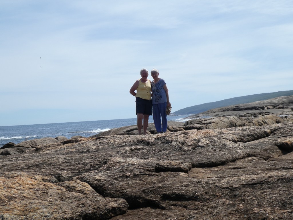
We set of from Margaret River with mild trepidation not knowing if we would be able to fly back to Sydney.
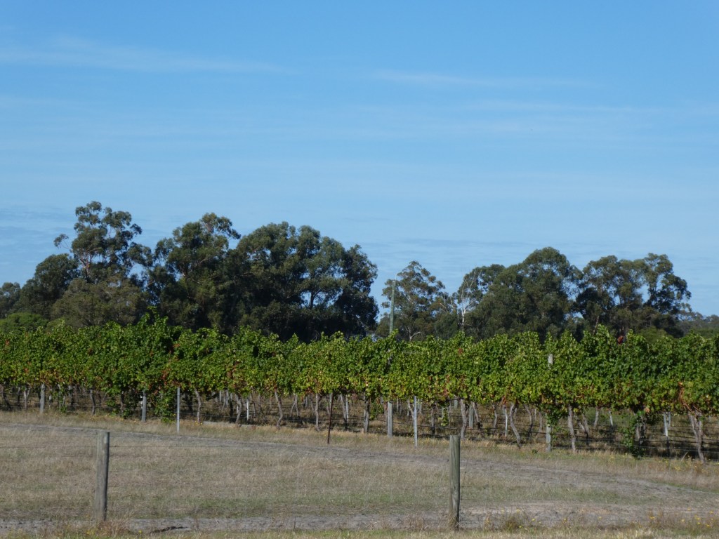
Leaving Margaret River Margaret River is an up and coming Wine producing area.
Margaret River’s wine history began in the 1830s when the Bussell family planted their first vines to make wine for home. However, the region didn’t really take flight until two research scientists landed here in the 1950s, almost 100 years later.
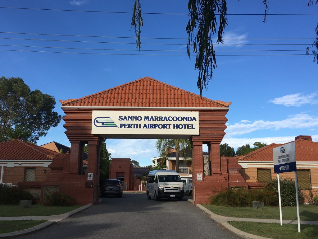
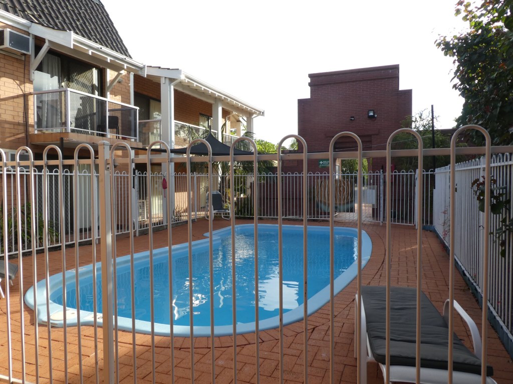
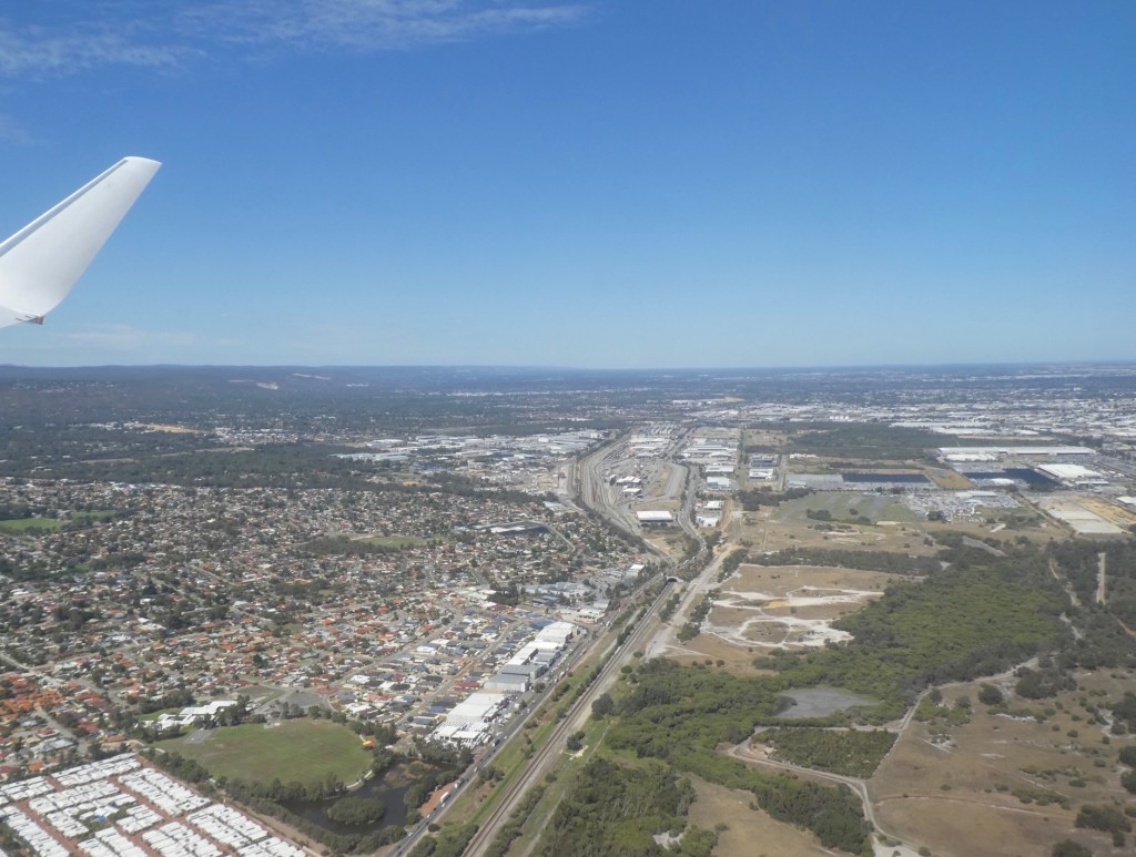
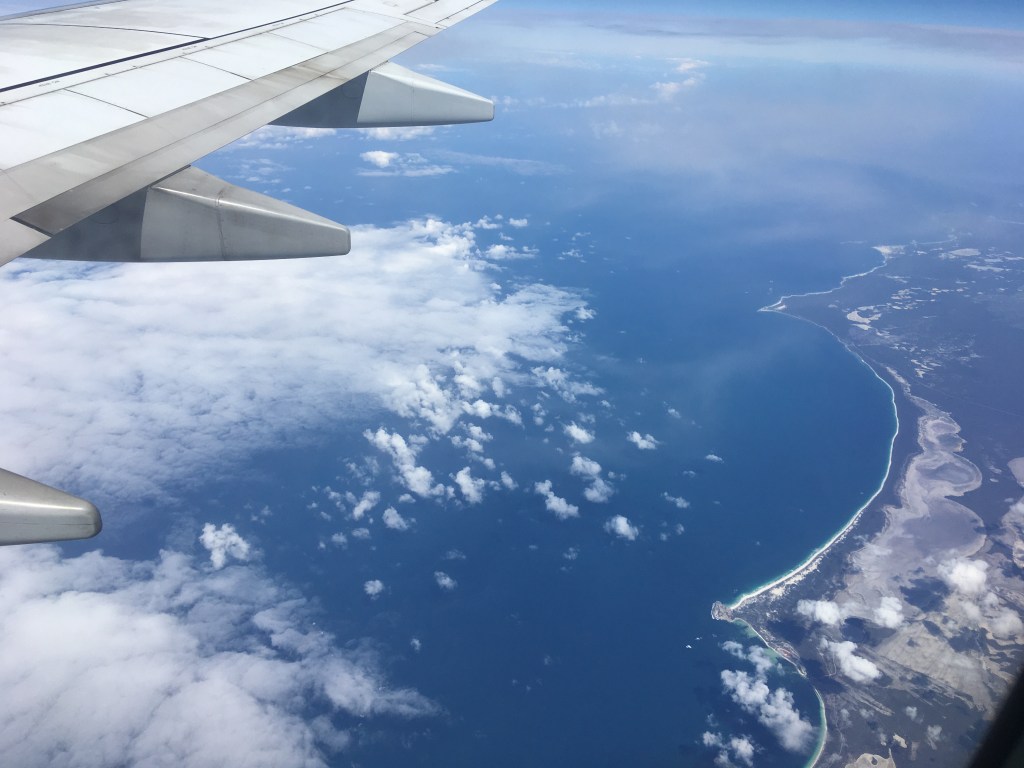
The Angry Bird parked in the shade whilst we ate our lunch on a bench in RockinghamOur last night in WACute little pool at the Sanno MarracoondaVirgin Australia Flight VA556 Wednesday 25th March One of the last planes out of Perth due to the covid19 virus restrictions. Approx 2050miles / 3295 km and four hours flying time. Flight barely half full.Outskirts of PerthEvidence of open-pit mineral mining east of PerthIsraelites Bay on the Great Australian Bight.
The Great Australian Bight is a large open bay off the central and western parts of the southern coastline of mainland Australia. The Bight’s boundaries are from Cape Pasley, Western Australia, to Cape Carnot, South Australia. This is a distance of 1,160 km or 720 miles. The much more accepted name in Australia for the connected waterbody is the Southern Ocean rather than the Indian Ocean. The settlements along the coastline with access to the Bight and facilities are Ceduna and Eucla. Some other locations on the Eyre Highway or on the Nullarbor do not have facilities or easy access.
These look like dried up salt beds. Any body know what they are?Back on the East Coast In the rain!Sydney Harbour upper reaches, could it be Lane Cove?Landed.
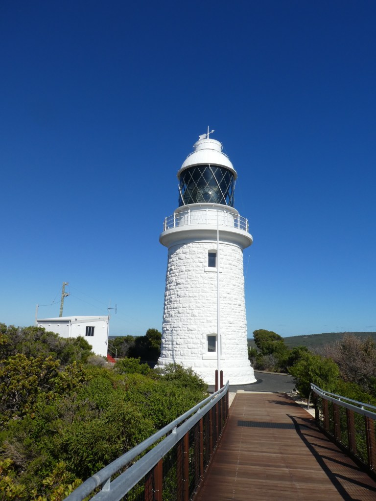
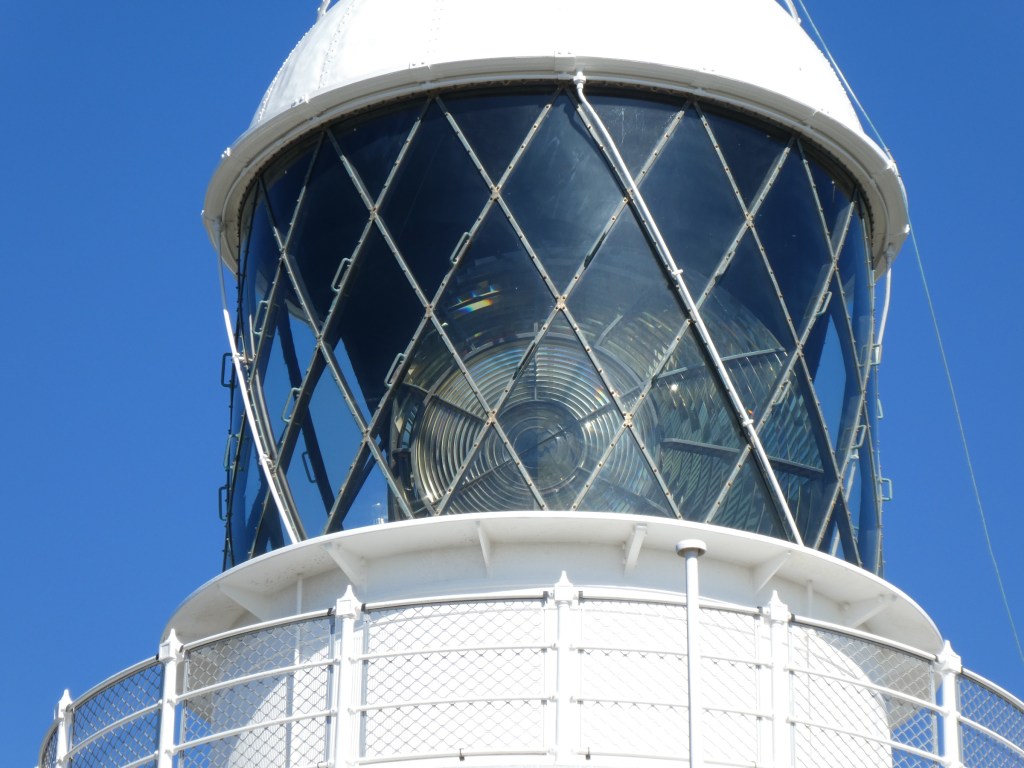
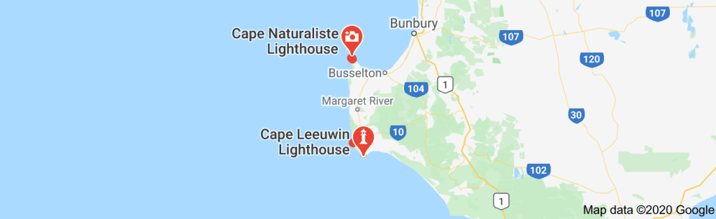
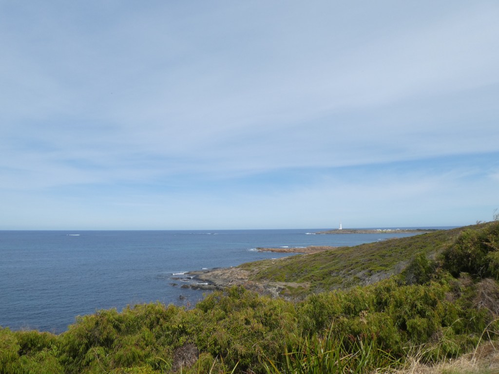
Looking out over Geographe Bay, Cape Naturaliste Lighthouse has the appearance of a quaint, watchful stone sentinel. Constructed from local limestone, the picturesque lighthouse offers vistas of the ocean, the coastline’s charming beaches, and the walking trails that snake around the promontory on which the building sits. At its highest point, Cape Naturaliste Lighthouse is 123 m (404 ft) above sea level.
Cape Naturaliste Lighthouse was the last manned lighthouse on mainland Australia and is one of the few operational lighthouses the public can access.
The lighthouse stands on a 100m high bluff overlooking Geographe Bay and affords breathtaking views across the Indian Ocean and the Leeuwin-Naturaliste National Park. From the balcony, whales and their young can be spotted playing in the waters below during their annual migration, from September to December.
Three keepers and their families originally lived and worked at Cape Naturaliste Lighthouse and the three original lightkeepers’ quarters are still standing. Life revolved around night watches which were divided into three periods, one for each man. During each watch the keeper had to wind the mechanism and then pump paraffin to the burner.
Life was hard for lightkeepers and their families. With no paid annual leave or travel assistance, lightkeepers remained at their isolated stations for many years. Once a fortnight stores and supplies were delivered from Busselton, including classwork for the children who were home schooled. The light was converted to automatic operation in July 1978 and the last lighthouse keeper, Max Nethery, left in 1996.
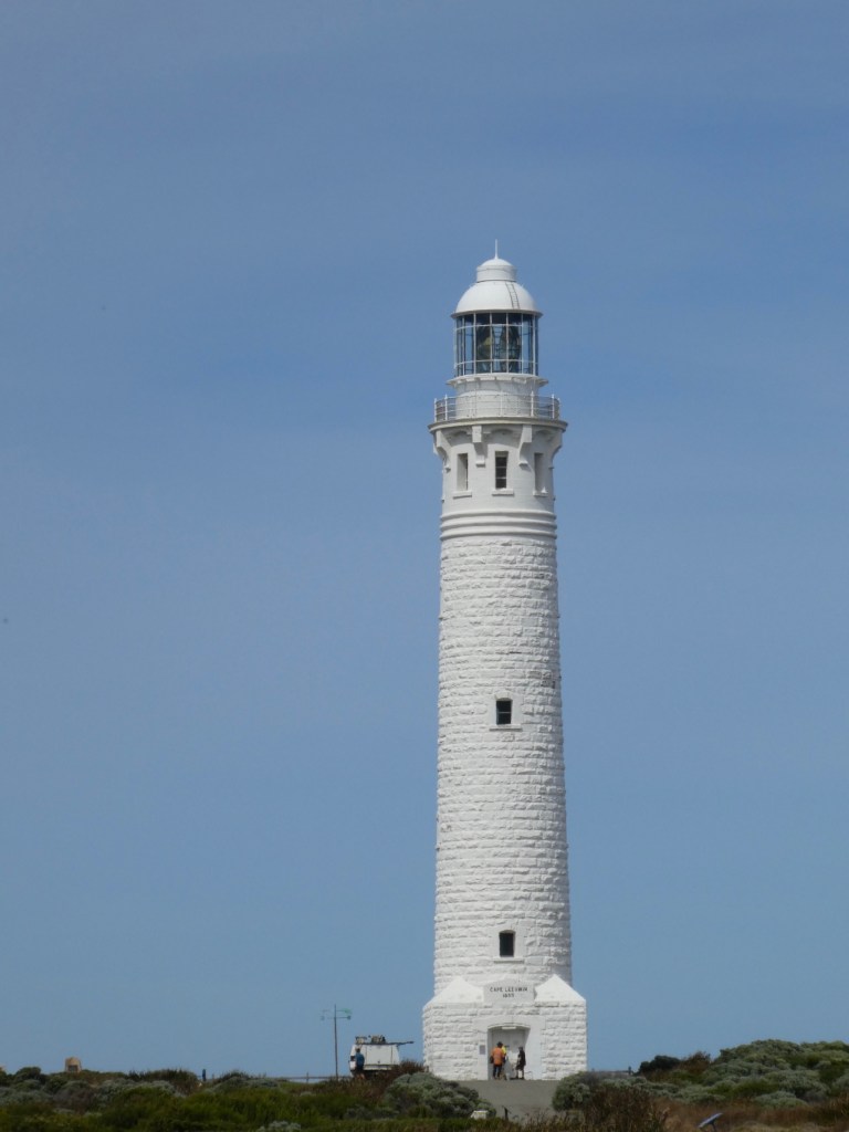
The Cape to Cape Bush Walk Track runs for 123 kilometres along the Leeuwin-Naturaliste Ridge, between the lighthouses of Cape Naturaliste and Cape Leeuwin in the far south west of Western Australia. It features spectacular coastal and forest scenery, a fascinating geology of cliffs, caves, headlands and rock formations and an ever-changing display of vegetation and wildflowers.
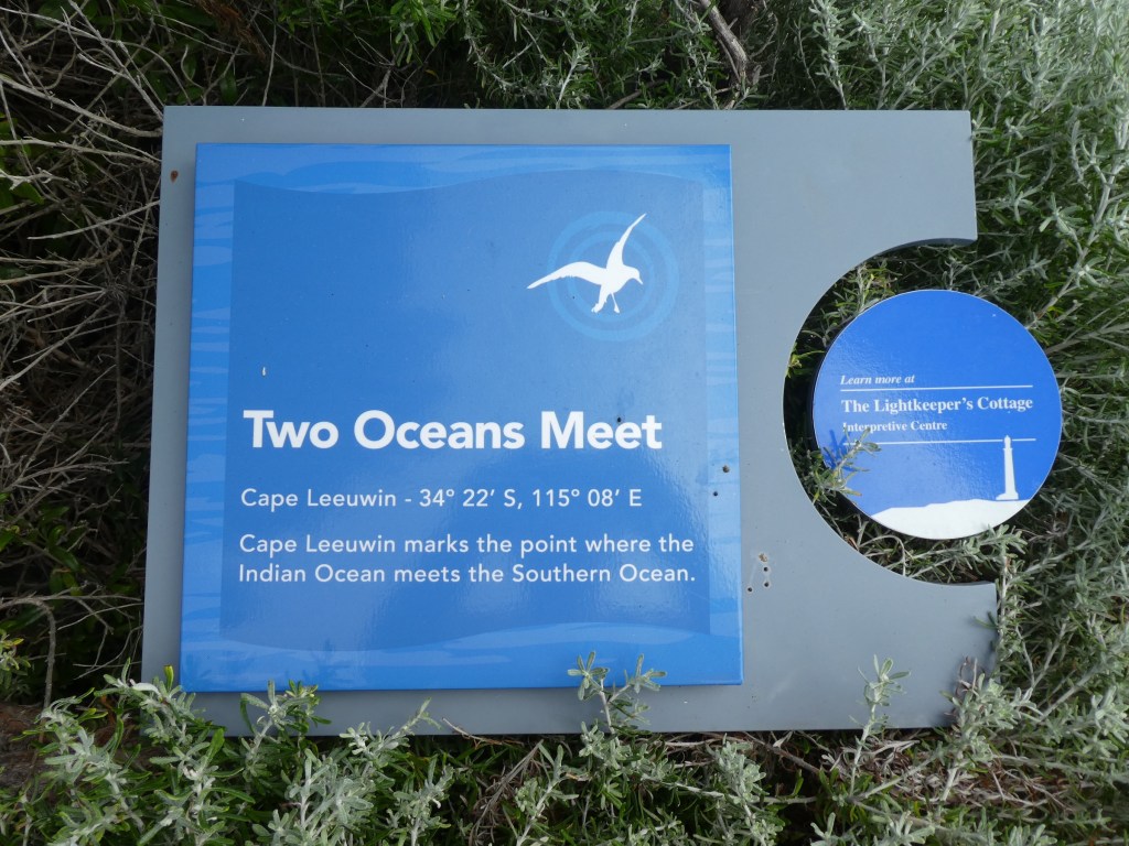
There are five oceans on earth, and all of them are connected with each other to form a continuous body of water. Historically, there were only four oceans, namely Atlantic, Pacific, Indian and Arctic. In the year 2000, the International Hydrographic Organization decided to carve out a new ocean surrounding the least populated continent at the bottom of the earth—Antarctica—based on the evidence that this water body has a distinct ecosystem and a unique impact on global climate. The Antarctic Ocean, also called the Southern Ocean, became the fifth ocean on earth and the fourth largest of the world’s five oceans, larger than the Arctic Ocean.
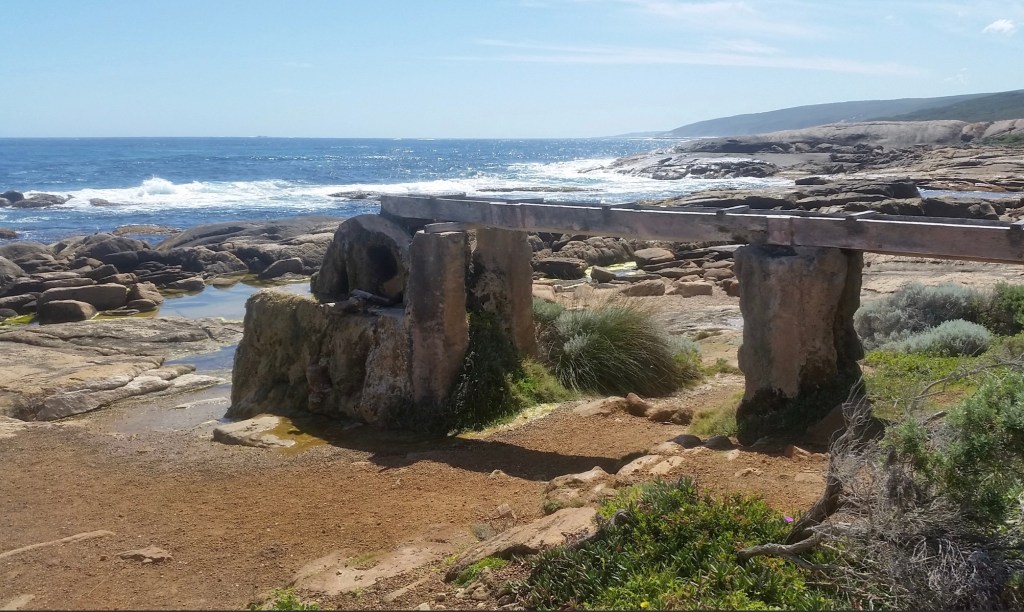
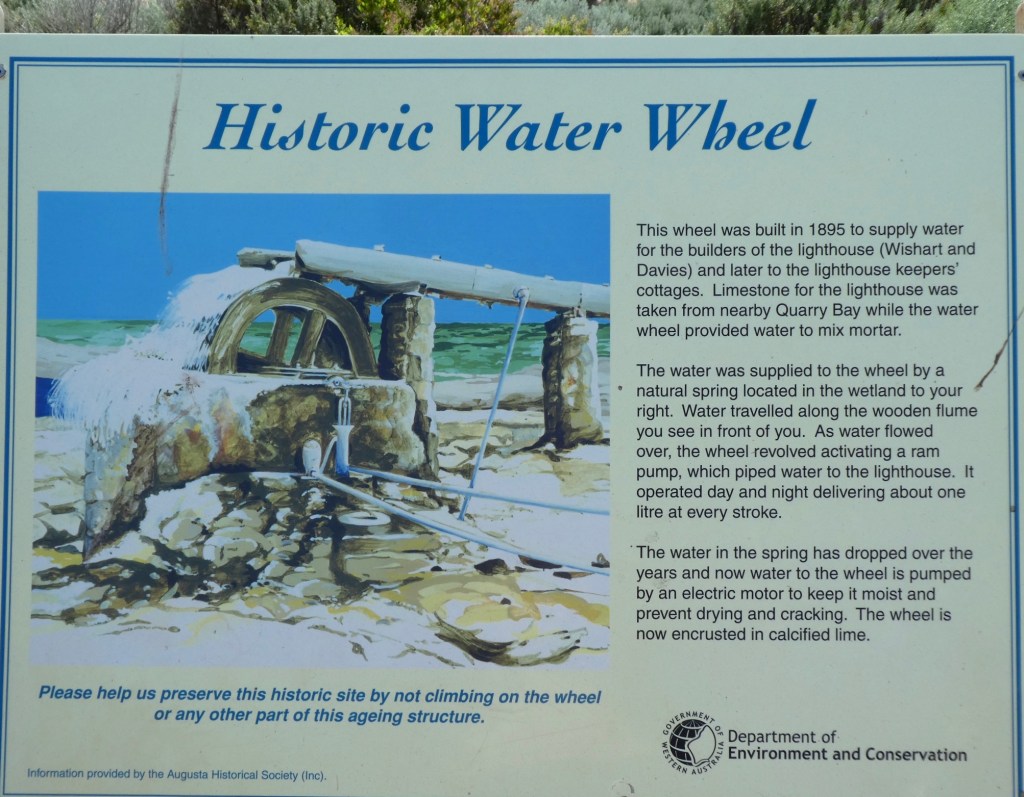
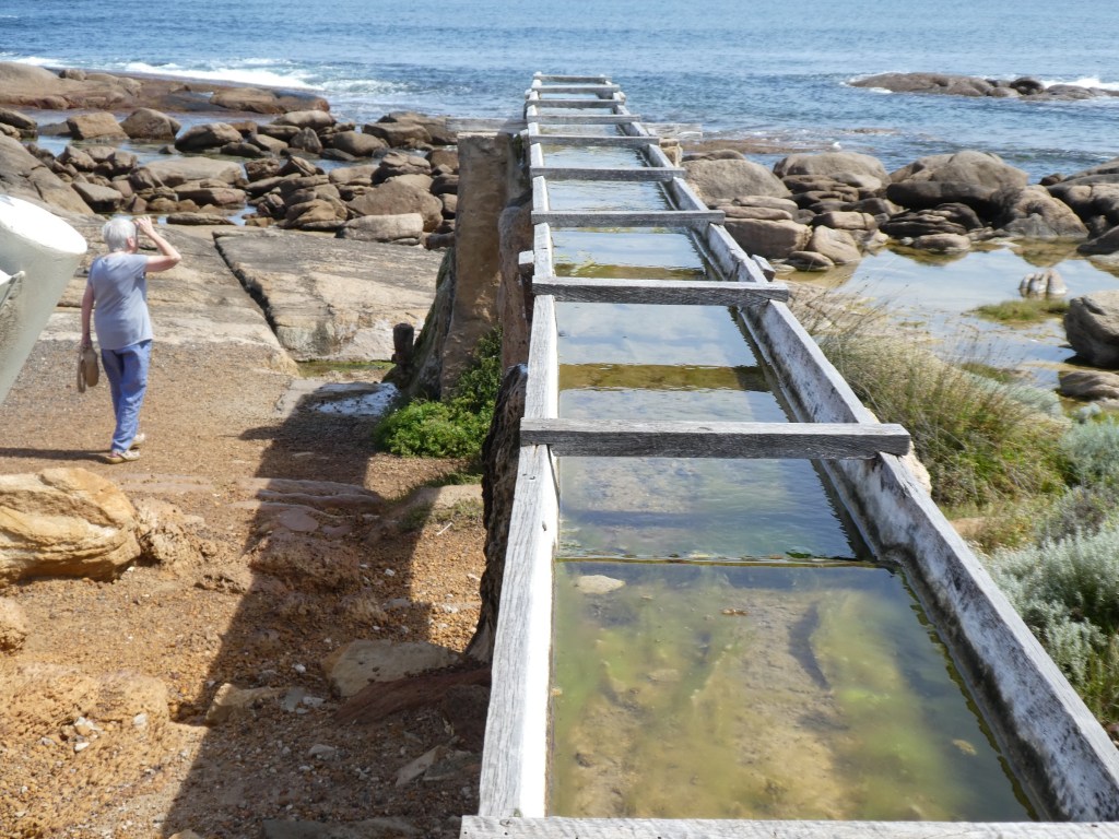
I only have the Arctic Ocean to paddle in to collect the set.We couldn’t see the join.The Water wheelOn the rocks.
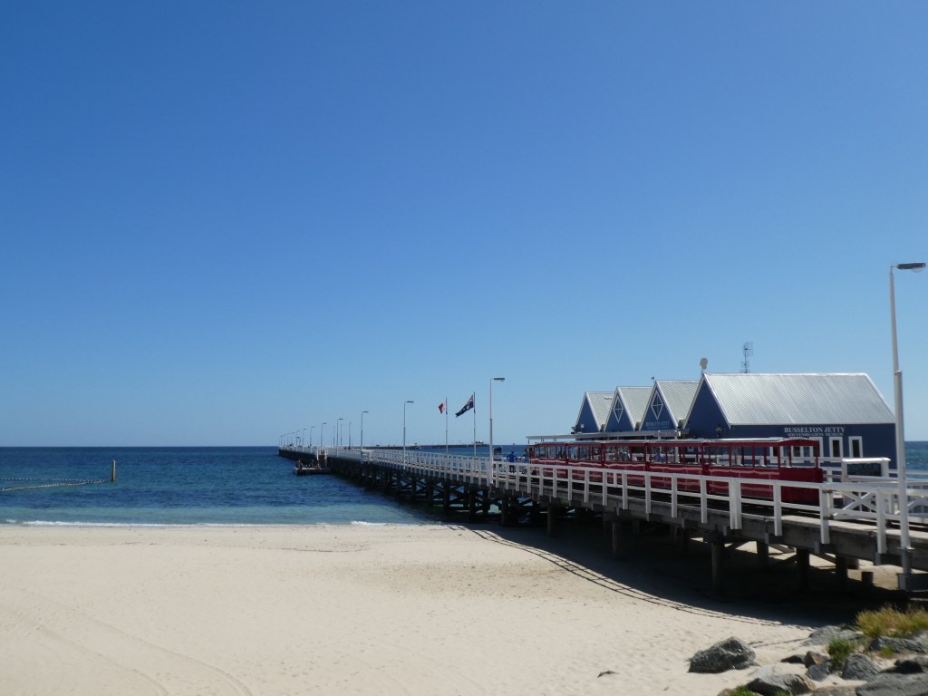
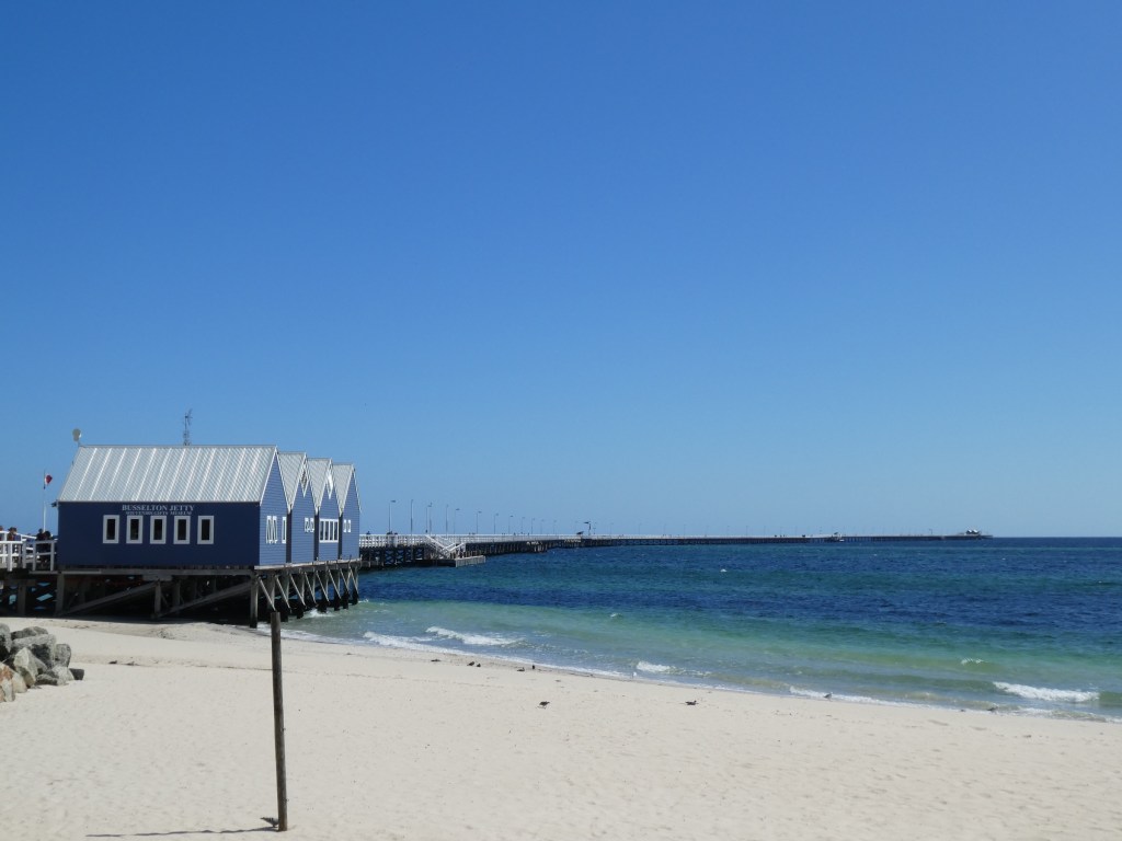
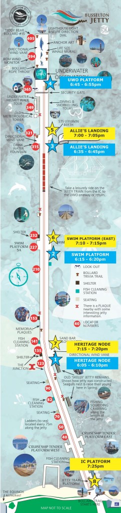
Busselton Jetty is the longest timber-piled jetty (pier) in the southern hemisphere at 1,841 metres (over a mile) long. The Jetty is managed by a not-for-profit community organisation, Busselton Jetty Inc.
The jetty’s construction commenced in 1864 and the first section was opened in 1865. The jetty was extended numerous times until the 1960s, ultimately reaching a length of 1,841 metres (6,040 ft). The last commercial vessel called at the jetty in 1971 and the jetty was closed the following year. It passed into the control of Busselton Shire and has been gradually restored and improved since. The jetty has survived Cyclone Alby in 1978, borers, weathering, several fires, and the threat of demolition, to have become a major regional tourist attraction.
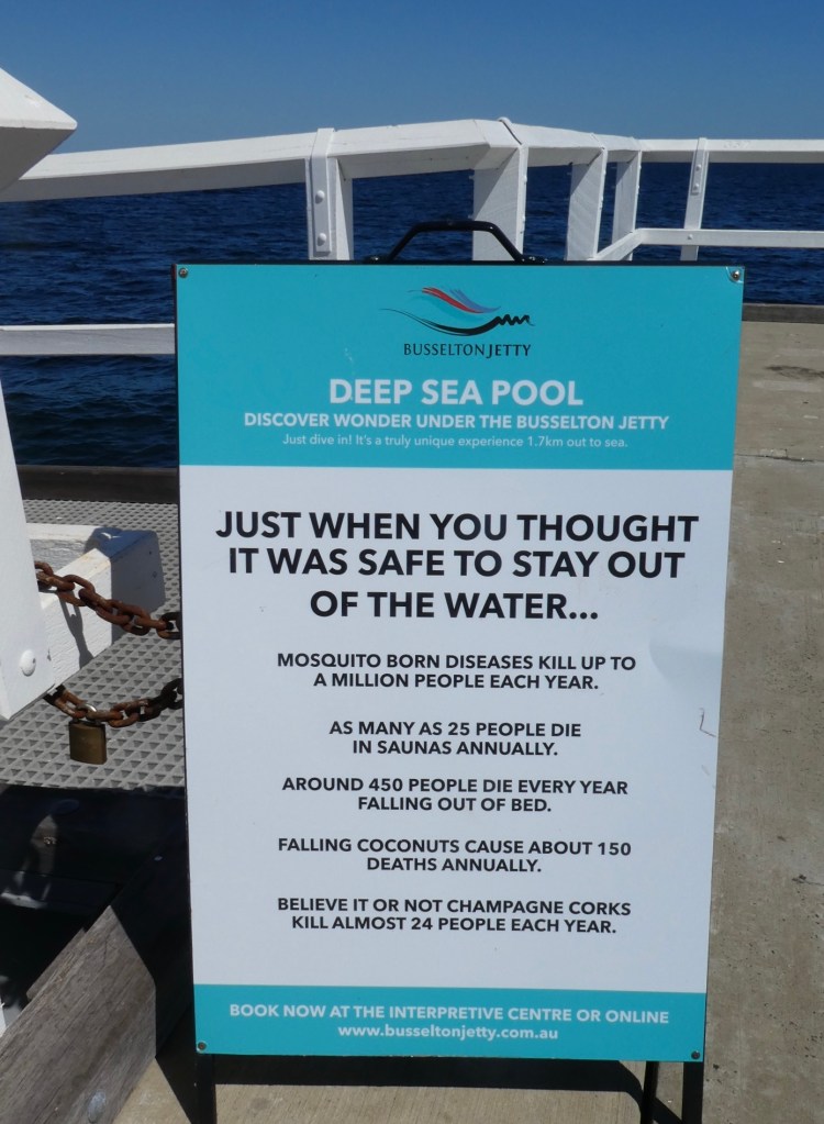
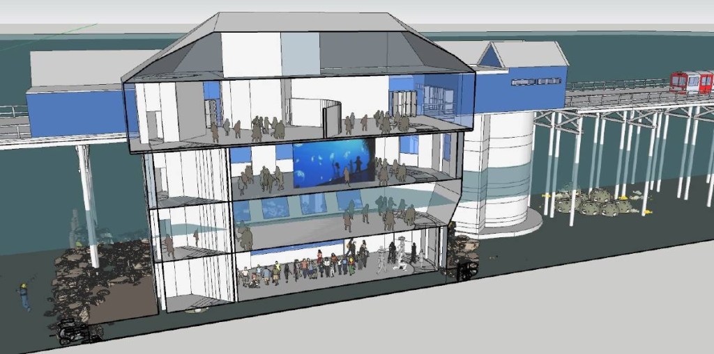
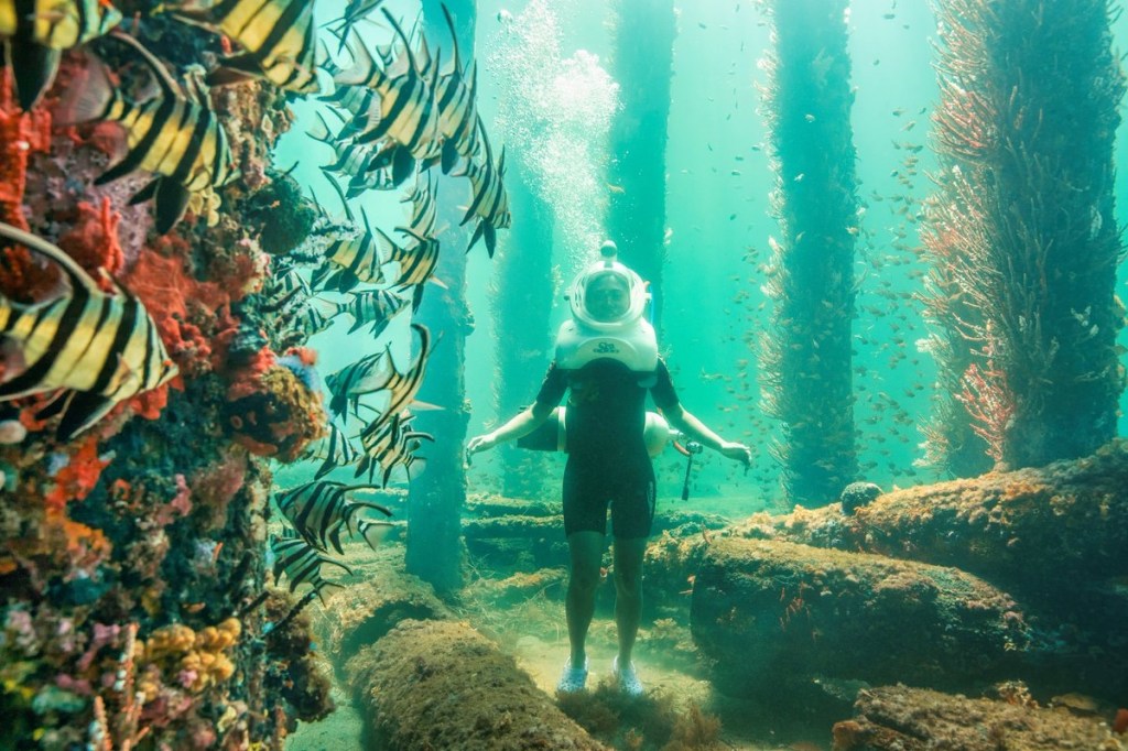
The jetty features a rail line along its length, a relic of the railway line into Busselton from Bunbury. The line now carries tourists along the jetty to an underwater observatory, one of only six natural aquariums in the world, which opened to the public in 2003.
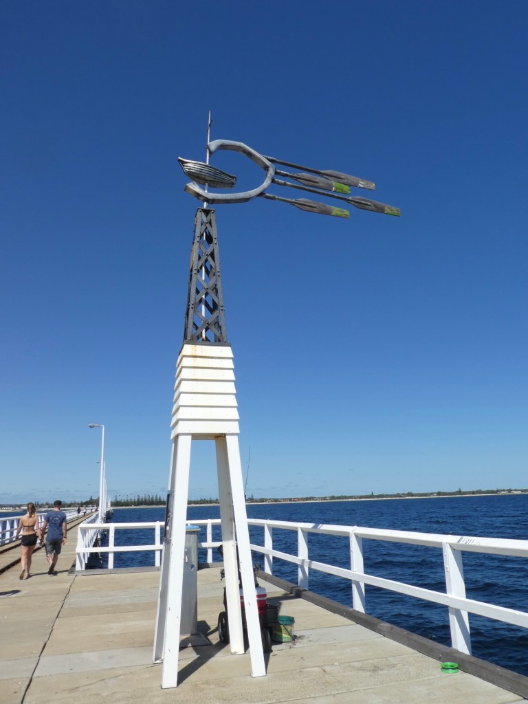
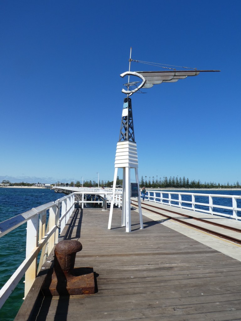
TernLittle pied cormorant.The train usually runs along the Jetty hourly, but we just heard that it is now suspended until the crisis of covid19 passes. We opted to walk.Us at the very end!
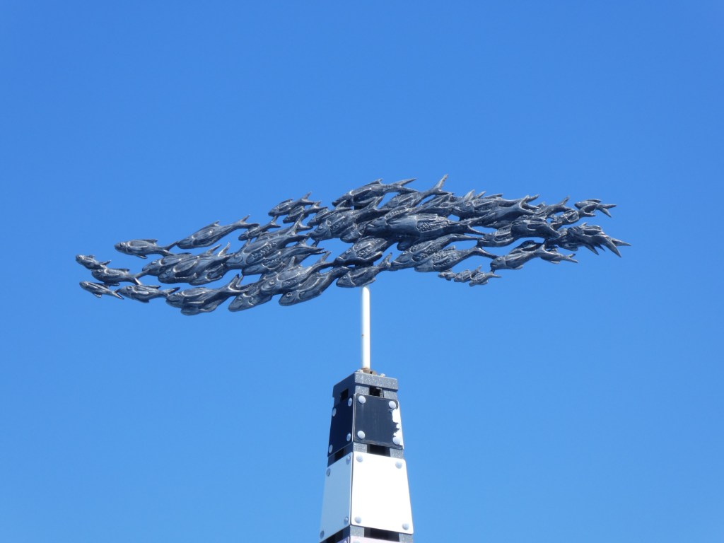
Despite the number of people, we enjoyed the long walk. There was a section with plaques in memory of local people who had died and been involved in some way with the jetty or considered the jetty a favorite place. There were interesting informational signs and several unique weather vanes along the way.
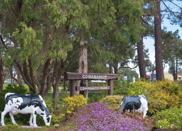
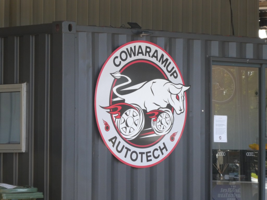
Cowaramup is roughly central to the Margaret River wine region. It is the closest townsite to a number of wineries and other speciality producers including Vasse Felix, Howard Park and Madfish Winery, the Margaret River Chocolate Factory, and The Margaret River Dairy Company. The town is close to Cowaramup Bay, a popular swimming and surfing beach. The Cowaramup Bombora (also known as Cowie Bombie or simply Cow Bombie) is a big wave open-ocean surf break found on the south-west coast of Western Australia. It is located 2 kilometres offshore west of Gracetown which is near the town of Margaret River, world-renowned for its surf, and is 265 km south of the capital city Perth.
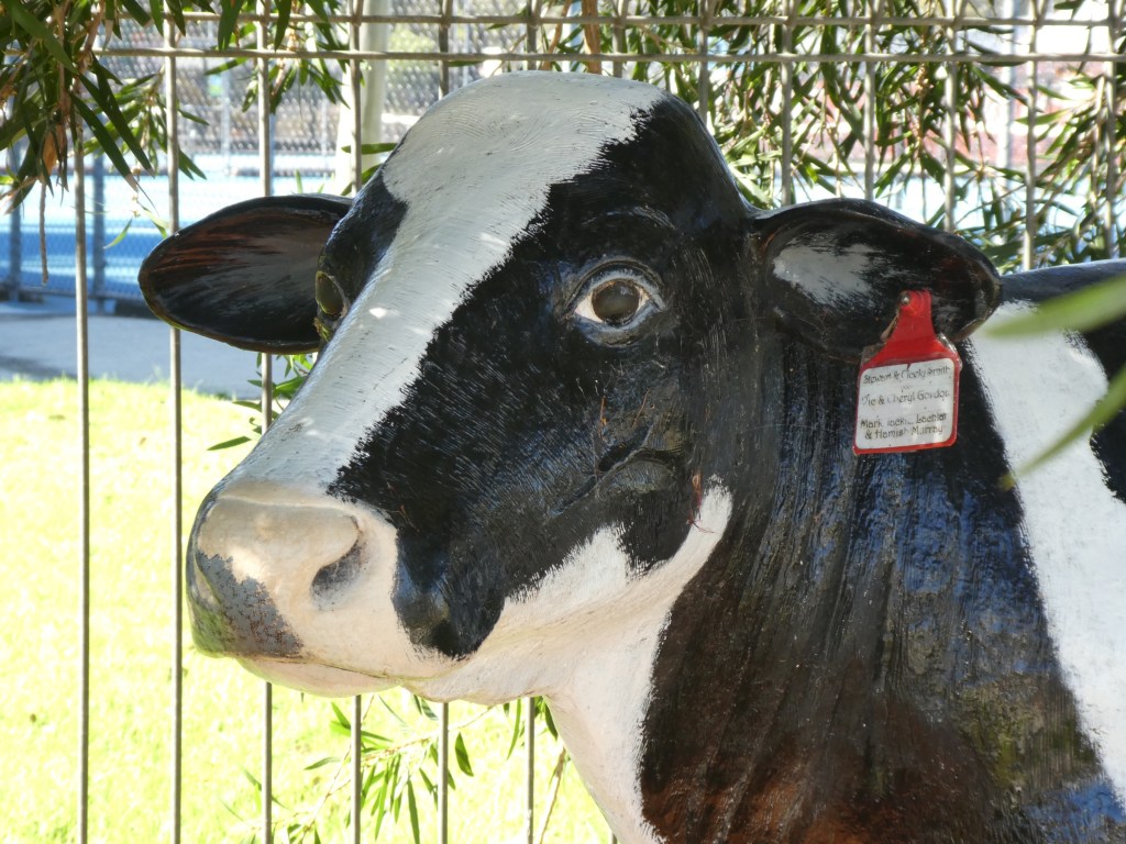
The name is believed to be derived from the Noongar word cowara, meaning purple-crowned lorikeet. Locals from the region often refer to the town as “Cowtown”, a reference to the use of “cow” in the town’s name and its history of dairy farming.
Cowaramup is a quaint little town retaining much of the character of its group settlement farming heritage, but being reinvented as the home of a wide range of unique local produces products from organic wines, soaps, lollies and other gourmet foods. Having been founded on dairy cows, Cowaramup is still often referred to as Cow Town by the locals. You can enjoy a delightfull meal at the Udderly Delightful Cafe or have a picnic at the Pioneer Park, where the local Lions club provide a free electric BBQ, of course there are public toilets provided as well as playground equipment and covered seating. Cowaramup is located just North of Margaret River on the Bussell Highway.
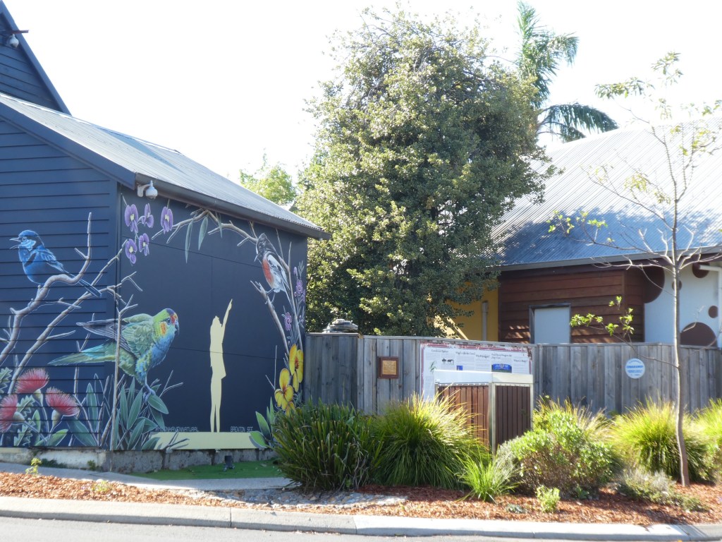
The Men’s ShedThe Angry Bird in the Shade in Cowaramup.